SNOWWIND / ANDROID
SnowWind App
Explore the terrain, prepare your plan and record with GPS. Return to your line in 3D, then share a record of your day.
Activity release: explore events, register, and check the same latest arrangements on Web or in the App.
Signed APK · about 112 MB · 64-bit Android. A public iOS download is not available yet.
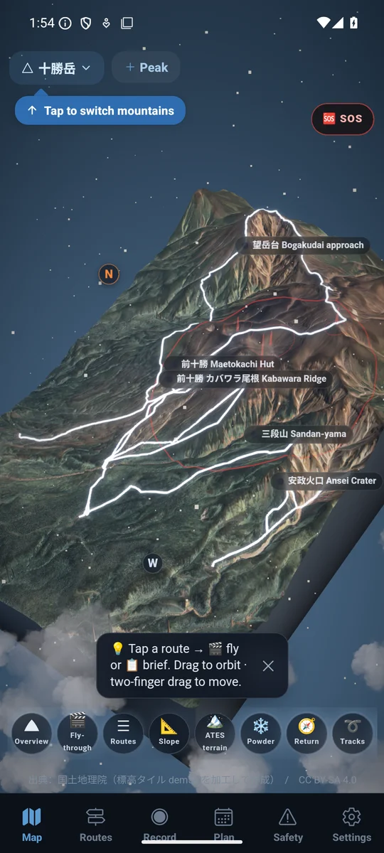
Static screenshot. The current release may differ.
What changed in 1.2.0
Compare high temperature, maximum wind and snowfall across the same dates; model disagreement appears as a range. Weather panels identify the mountain, date, retrieval time and missing data. The plan header uses local backdrop blur, with an opaque fallback for power-saving and accessibility settings. Five main sections remain: Map, Trips, Record, Activities and Guides.
Choose and prepare
Keep your selected mountain and route as you move between the plan, map and recorder. Download the maps you need before heading out.
Hold to start recording
Allow GPS access and start your record. Pause for a break and resume when ready. After finishing, confirm your tour has been saved.
Replay and share
Share your track postcard or GPX. In 3D replay, turn your recorded line into a short clip. An internet connection is needed for 3D replay.
YOUR LINE, IN MOTION
Your line. A mountain film.
A real 3D replay export made with a public GPX route. Press play to see an example of the output.
Route: Rob Thomson / HokkaidoWilds.org · Terrain: GSI · Film adaptation and excerpt: SnowWind · CC BY-SA 4.0
Film description and data credits
The camera moves over Yotei’s terrain and a public route line. Vertical and maximum slope shown in the film are calculated from this test input and the DEM; they do not describe safety or current snow conditions.
Original route: Rob Thomson / HokkaidoWilds.org — Yotei Makkari Route · CC BY-SA 4.0.
Adaptation: 3D visualization by SnowWind. The GPX was split after point 59 for a function test; this excerpt contains the first 6 seconds of that export. SnowWind’s film adaptation is also provided under CC BY-SA 4.0.
Terrain: processed Geospatial Information Authority of Japan elevation data. GSI content terms
Source data comes without an accuracy guarantee and does not replace current conditions or access checks. No endorsement by the source author is implied. Full film credits and license notice
Verify this download
SHA-256
3272d0aa3b7fb0bc645c149232986bf7e05144cc33cf386df6588ad2544dd9e8File size: 111,524,091 bytes