Hokkaido
Mountains
An index of 22 Hokkaido backcountry areas and 9 resorts. Areas lead to 3D terrain, slope and recorded routes; resorts to a 3D piste map and snow report.
31 mountains and resorts
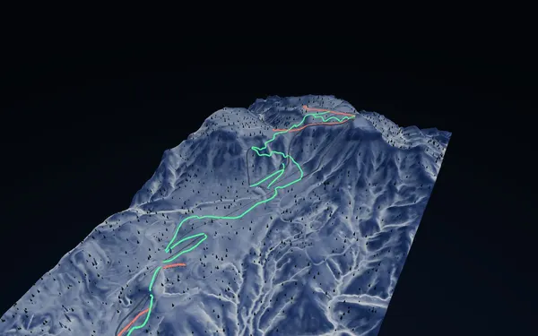
Sapporo Teine
Sapporo
Closest to Sapporo · Olympic-legacy terrain
Explore terrain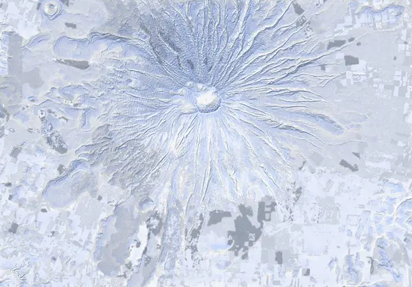
Mt Yotei
Niseko / Shiribeshi
A symmetric stratovolcano — every aspect, five classic routes, up to the crater.
Explore terrain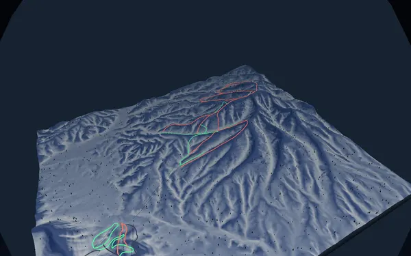
Rusutsu
Shiribeshi
Tri-mountain resort · legendary powder
Explore terrain
Mt Asahidake
Daisetsuzan
Hokkaido's highest peak, 2291 m — ropeway access, volcanic gas (Jigokudani) and fierce wind to respect.
Explore terrain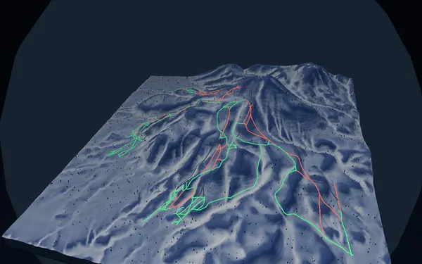
Niseko United
Shiribeshi
World-class powder · the legendary four-mountain united area
Explore terrain
Shiribetsu-dake
Niseko / Rusutsu
A standalone cone by Rusutsu — the popular West Bowl is a slide-path; ski it stable only.
Explore terrain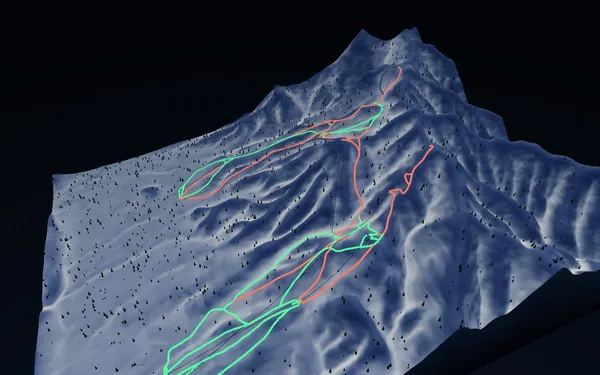
Furano
Furano
Near 1000m vertical · dry inland powder
Explore terrain
Mt Tokachidake
Tokachi Range, Daisetsuzan
Mt Tokachidake: terrain and historical route records. Tokachidake Level 3 access restrictions were confirmed on 14 September 2026; follow current official instructions.
Explore terrain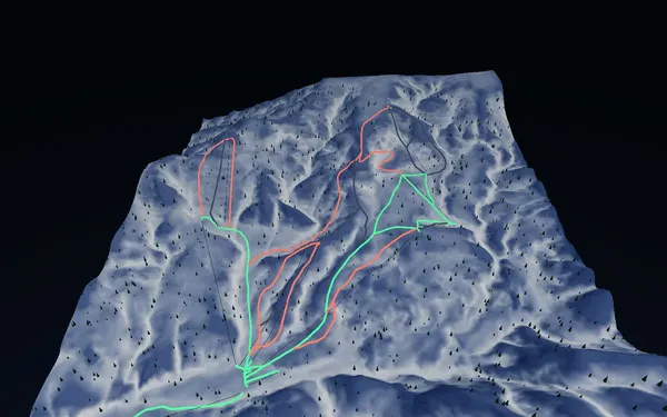
Kiroro
Akaigawa
Huge snowfall · one of Hokkaido’s deepest
Explore terrain
Niseko Annupuri
Niseko / Shiribeshi
Niseko's main peak, 1308 m — the classic north-face loop to Goshiki Onsen, plus quiet west-face laps.
Explore terrain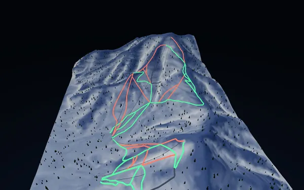
Hoshino Tomamu
Shimukappu
Sea-of-clouds resort · family friendly
Explore terrain
Yoichi-dake
Sapporo / Kiroro
Sapporo's highest peak, 1488 m — a long, quiet round trip from Kiroro with a fully alpine summit ridge.
Explore terrain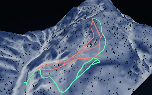
Sapporo Kokusai
Sapporo
Near Sapporo · wide groomers, reliable snow
Explore terrain
Furano-dake
Tokachi Range, Daisetsuzan
The SW anchor of the Tokachi Range, 1912 m — winter lines climb the Giant Ridge and Nishi-shamen to ~1500 m on the ridge.
Explore terrain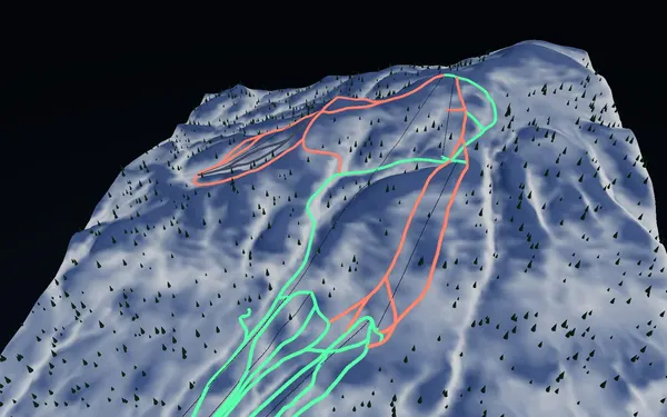
Kamui Ski Links
Asahikawa
Asahikawa’s local gem · wide powder faces
Explore terrain
Sandan-yama
Tokachi Range, Daisetsuzan
Sandan-yama: terrain and historical route records. Tokachidake Level 3 access restrictions were confirmed on 14 September 2026; follow current official instructions.
Explore terrain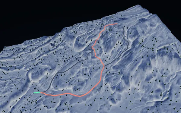
Asahidake
Daisetsuzan
Hokkaido’s highest peak · backcountry powder mecca
Explore terrain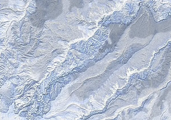
Kuro-dake
Daisetsuzan / Sounkyo
The 1984 m buttress at Daisetsuzan's northern edge — the Sounkyo Ropeway lifts you to 1300 m, then real alpine above treeline, flanked by cliff-lined gorges.
Explore terrain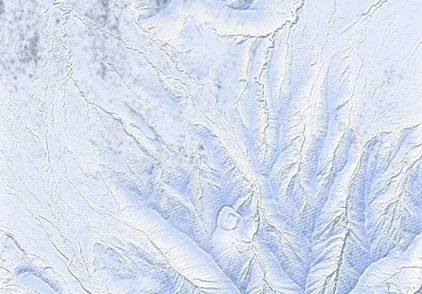
Rishiri-zan
Rishiri Island / Northern Hokkaido
A 1721 m volcano rising straight out of the Sea of Japan — near-sea-level to summit, at its best in March–April. The expedition flagship.
Explore terrain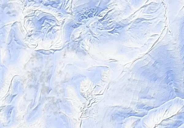
Iwaonupuri
Niseko / Shiribeshi
The youngest volcano in the Niseko Range, 1116 m — an easy half-day from Goshiki Onsen, plus one of the range's steepest chutes.
Explore terrain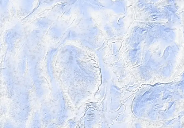
Chisenupuri
Niseko / Shiribeshi
The classic peak of the western Niseko Range, 1134 m — the standard south face, and a lee-loaded southeast face that hoards deep powder.
Explore terrain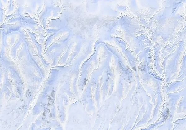
Mekunnai-dake
Niseko / Shiribeshi
The quiet gem at the west end of the Niseko Range, 1220 m — a bouldery summit tower above glades and old-growth forest skiing.
Explore terrain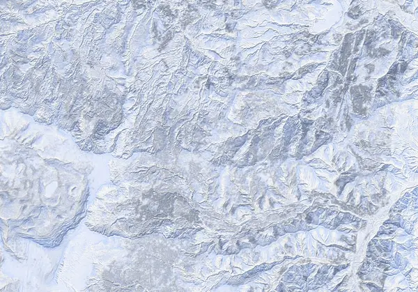
Muine-yama
Sapporo / Jozankei
The white whaleback SW of Sapporo, 1464 m — two long classics via Toyoha Motoyama and Usubetsu.
Explore terrain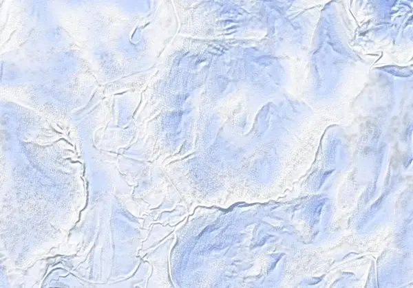
Nitonupuri
Niseko / Shiribeshi
One of the busiest peaks in the Niseko Range, 1080 m — a hot-lap southwest face, plus west and southeast lines.
Explore terrain
Shakunage-dake
Niseko / Shiribeshi
A conical 1074 m peak west of Chisenupuri — the standard col traverse from the ski area, plus a longer south-face approach from the Niimi Pass.
Explore terrain
Weisshorn
Niseko / Shiribeshi
A 1045 m peak NNW of Niseko United — the site of the defunct Weiss ski area, up the east ridge through forest.
Explore terrain
Tarumae-zan
Lake Shikotsu / Iburi
A smoking 1023 m active volcano south of Lake Shikotsu — a long forest-road approach from the winter road-closure point to a wind-scoured outer rim. Tomakomai City designates the inside of the outer rim (lava dome included) a hazardous-entry area and asks that climbing stop at the rim.
Explore terrain
Biei-dake
Daisetsuzan / Tokachi Range
A 2052 m stratovolcano northeast of Tokachi-dake. From Shirogane Onsen through the forest to a wind-scoured northwest ridge; south of the summit the Ponpi-sawa basin drops away in chutes and rock spurs — remote, exposed, advanced.
Explore terrain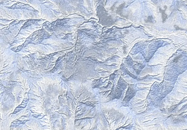
Izari-dake
Lake Shikotsu / Eniwa
The 1318 m high point of the northwest Lake Shikotsu caldera rim, just west of Eniwa-dake — a quiet half-day tour within reach of Sapporo. A forest-road approach, then the east ridge through trees to a steep pitch below the summit. Better than its obscurity suggests, and rarely crowded.
Explore terrain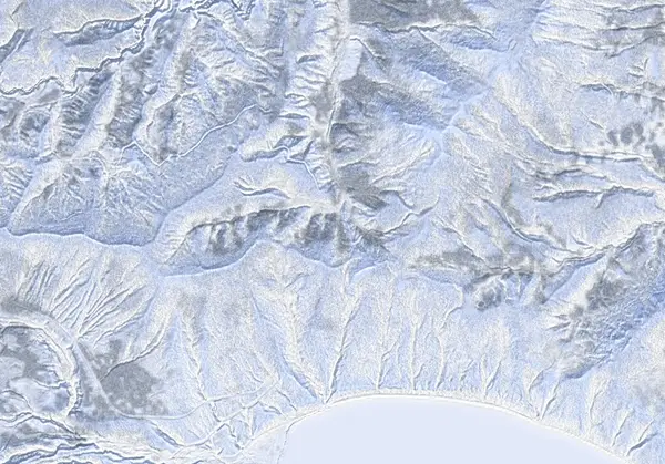
Ichankoppe-yama
Lake Shikotsu / Eniwa
A short half-day up a single ridge from the Lake Shikotsu lookout on the north shore — 829 m, with Eniwa-dake filling the view across the water. Quiet and modest in size, but not as gentle as the vertical suggests: the SE forest ridge threads a 30° median and a 39° max between open trees. Beginner numbers over a slope that never really relents.
Explore terrain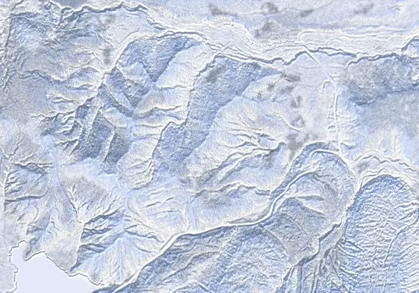
Okotanpe-yama
Lake Shikotsu / Eniwa
Above Lake Okotanpe on the Shikotsu caldera rim — 968 m, short on both distance and vertical, yet the least gentle of the three Shikotsu peaks. The east forest carries a 33° median and a 42° max, is classed ATES complex, and puts ~27% of its reachable slope in avalanche start zones. The source is blunt that it is "intermediate despite the beginner numbers": a steep zigzag up, tree-dodging on the way down. A peak whose small figures undersell the ground.
Explore terrainNo matching mountain. Try another name or region.