Nitonupuri · Routes
↘ Nitonupuri — West Face
This route carries serious backcountry hazards. Its slope and ATES labels are planning estimates; they do not decide whether it is safe today or suitable for your group.
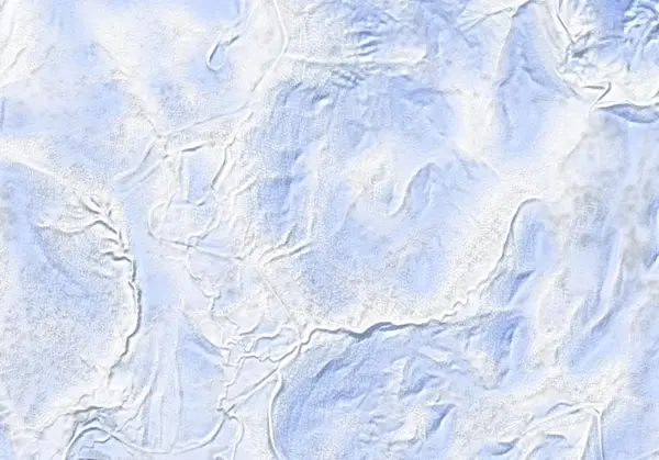 出典:国土地理院(標高タイル DEM10B を加工して作成)
Steepness · profile
← Distance 5.8 km →
Per-segment terrain (data table)
| % | m | Steepness | Aspect |
|---|---|---|---|
| 0% | 615 | 22° | NW |
| 3% | 623 | 26° | S |
| 6% | 636 | 22° | SW |
| 10% | 646 | 11° | SW |
| 13% | 661 | 14° | S |
| 16% | 687 | 27° | SW |
| 19% | 711 | 28° | W |
| 23% | 760 | 36° | W |
| 26% | 827 | 26° | W |
| 29% | 891 | 29° | W |
| 32% | 966 | 30° | W |
| 35% | 1045 | 29° | W |
| 39% | 1067 | 29° | NW |
| 42% | 995 | 39° | W |
| 45% | 894 | 35° | W |
| 48% | 810 | 30° | NW |
| 52% | 818 | 35° | NW |
| 55% | 906 | 31° | W |
| 58% | 975 | 29° | W |
| 61% | 1017 | 27° | NW |
| 65% | 1011 | 39° | S |
| 68% | 974 | 42° | W |
| 71% | 856 | 35° | W |
| 74% | 792 | 17° | W |
| 77% | 772 | 22° | W |
| 81% | 752 | 28° | SW |
| 84% | 706 | 25° | W |
| 87% | 687 | 15° | W |
| 90% | 661 | 11° | S |
| 94% | 645 | 22° | SW |
| 97% | 636 | 26° | SW |
| 100% | 624 | 22° | S |
Route guide
The broad West Face of Nitonupuri (1080 m) is a lapping line on the west side of this popular Niseko peak. From the Yusato Gate (Route 66 winter closure, ~800 m up from Chisenupuri village near the Goshiki Onsen turnoff) it climbs and descends the west-to-west-southwest aspect (baked mean aspect ~256°). Hokkaido Wilds gives ~4.5 km, ~450 m, ~3 hours, grade 5/10, and describes it plainly as 'steep, avalanche-prone terrain.' Read this as a description, not a recommendation.
[Terrain] Treeline is around 1000 m; below it travel is through open forest, and the upper mountain opens into a broad west-facing bowl. The baked maximum pitch is 41° (line median ~22°). The high point here is a 1076 m false peak, easily mistaken for the true summit in poor visibility.
[The skiing and the avalanches] The west face gives a lot of terrain, but sections that wrap onto the lee of the prevailing NW wind load with wind slab. Enter through the lower-angle trees and assess the stability of the open upper slopes yourself. Check the Niseko avalanche bulletin and the JAN SW Hokkaido bulletin before departing, and make your own stability assessment.
Access & logistics
Start & parking: The Yusato Gate (Route 66 winter closure, ~800 m up from Chisenupuri village). Roadside parking is extremely limited — you may need to clear your own space; take care not to block the road.
Getting there: Car only; no public transport. ~24 km from Hirafu, a taxi is ~¥7,500–8,000 one-way. Carpooling recommended.
Onsen: Goshiki Onsen is close by. Confirm hours locally.
Info: Check the Niseko avalanche bulletin and the JAN SW Hokkaido bulletin before departing.
Today / tomorrow briefing
Loading…
Set reminders inside Google Calendar
Hokkaido Wilds · Rob Thomson — HokkaidoWilds.org · CC BY-SA 4.0
A planning aid, not a verdict. Always check the day’s official avalanche bulletin and decide in the field.
Route data source: Rob Thomson — HokkaidoWilds.org · CC BY-SA 4.0 · ↓ Download GPX