Nitonupuri · Routes
↘ Nitonupuri — SW Hot Laps
This route carries serious backcountry hazards. Its slope and ATES labels are planning estimates; they do not decide whether it is safe today or suitable for your group.
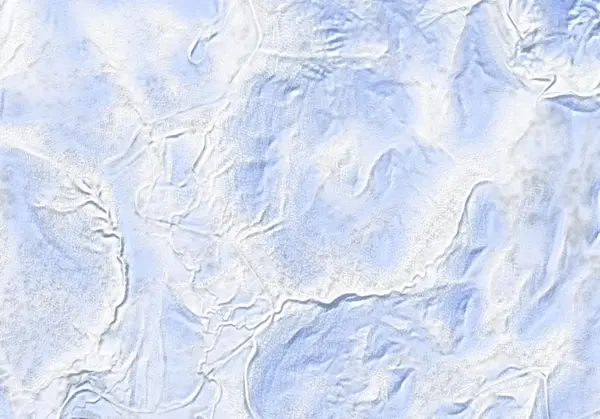 出典:国土地理院(標高タイル DEM10B を加工して作成)
Steepness · profile
← Distance 4.6 km →
Per-segment terrain (data table)
| % | m | Steepness | Aspect |
|---|---|---|---|
| 0% | 615 | 22° | NW |
| 3% | 618 | 17° | W |
| 6% | 629 | 26° | SW |
| 10% | 637 | 20° | SW |
| 13% | 645 | 11° | SW |
| 16% | 657 | 14° | SE |
| 19% | 677 | 18° | SW |
| 23% | 697 | 28° | SW |
| 26% | 715 | 28° | SW |
| 29% | 755 | 33° | SW |
| 32% | 791 | 36° | W |
| 35% | 846 | 25° | W |
| 39% | 895 | 30° | W |
| 42% | 950 | 29° | W |
| 45% | 943 | 30° | W |
| 48% | 887 | 26° | W |
| 52% | 841 | 31° | W |
| 55% | 780 | 34° | W |
| 58% | 717 | 28° | SW |
| 61% | 757 | 36° | W |
| 65% | 798 | 36° | W |
| 68% | 856 | 23° | W |
| 71% | 882 | 24° | W |
| 74% | 851 | 44° | W |
| 77% | 802 | 44° | W |
| 81% | 716 | 27° | W |
| 84% | 686 | 17° | SW |
| 87% | 665 | 11° | S |
| 90% | 648 | 15° | SE |
| 94% | 644 | 22° | SE |
| 97% | 636 | 26° | SW |
| 100% | 629 | 22° | SW |
Route guide
The 'hot laps' on Nitonupuri's southwest face are the region's busiest touring spot — the source calls it 'probably the busiest ski touring spot in the region, if not the whole of Japan.' It does not summit: the point is short, repeated laps through the SW-face glades. From the Yusato Gate the route climbs and descends the southwest aspect (baked mean ~246°). Hokkaido Wilds gives ~4.7 km, ~446 m, ~2 hours, grade 4/10. It is one of the more approachable lines on this mountain, but there is no patrol and no avalanche control. Read this as a description, not a recommendation.
[Terrain] The high point is about 900 m and laps turn around near an ~850 m false summit. The southwest face carries well-spaced old-growth forest that reads well even in poor visibility. Baked maximum pitch 41° (median ~22°).
[Avalanches and caution] Busy is not the same as safe. The source describes 'steep, avalanche-prone terrain' and advises avoiding the steep south-facing slopes, which sun can destabilise; watch the plateau traverses too. Check the Niseko avalanche bulletin and the JAN SW Hokkaido bulletin before departing, and make your own stability assessment.
Access & logistics
Start & parking: The Yusato Gate (Route 66 winter closure, ~800 m up from Chisenupuri village). Roadside parking is extremely limited — you may need to clear your own space; take care not to block the road.
Getting there: Car only; no public transport. ~24 km from Hirafu, a taxi is ~¥7,500–8,000 one-way. Carpooling recommended.
Onsen: Goshiki Onsen is close by. Confirm hours locally.
Info: Check the Niseko avalanche bulletin and the JAN SW Hokkaido bulletin before departing.
Today / tomorrow briefing
Loading…
Set reminders inside Google Calendar
Hokkaido Wilds · Rob Thomson — HokkaidoWilds.org · CC BY-SA 4.0
A planning aid, not a verdict. Always check the day’s official avalanche bulletin and decide in the field.
Route data source: Rob Thomson — HokkaidoWilds.org · CC BY-SA 4.0 · ↓ Download GPX