Nitonupuri · Routes
↘ Nitonupuri — Southeast Face
This route carries serious backcountry hazards. Its slope and ATES labels are planning estimates; they do not decide whether it is safe today or suitable for your group.
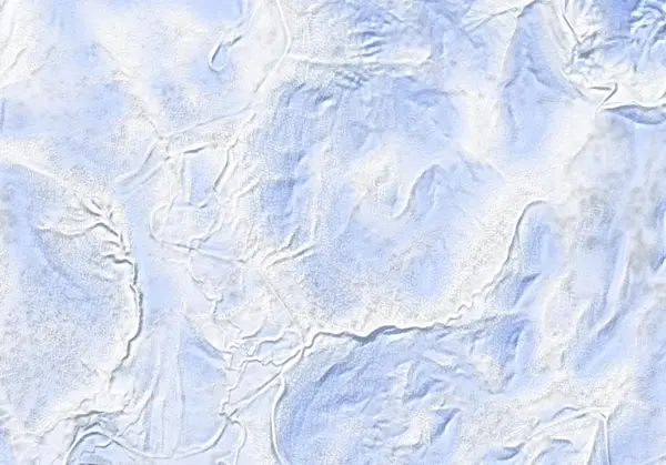 出典:国土地理院(標高タイル DEM10B を加工して作成)
Steepness · profile
← Distance 3.6 km →
Per-segment terrain (data table)
| % | m | Steepness | Aspect |
|---|---|---|---|
| 0% | 616 | 18° | W |
| 3% | 617 | 22° | NW |
| 6% | 625 | 32° | S |
| 9% | 650 | 40° | SW |
| 13% | 696 | 40° | S |
| 16% | 707 | 37° | S |
| 19% | 730 | 36° | S |
| 22% | 745 | 35° | S |
| 25% | 762 | 38° | SE |
| 28% | 770 | 38° | SE |
| 31% | 792 | 38° | SE |
| 34% | 814 | 35° | SE |
| 38% | 867 | 36° | SE |
| 41% | 929 | 35° | SE |
| 44% | 956 | 28° | SE |
| 47% | 967 | 37° | E |
| 50% | 1019 | 36° | E |
| 53% | 1070 | 31° | E |
| 56% | 1064 | 34° | S |
| 59% | 1005 | 31° | S |
| 63% | 971 | 29° | W |
| 66% | 950 | 28° | SW |
| 69% | 922 | 33° | SW |
| 72% | 895 | 30° | S |
| 75% | 860 | 38° | S |
| 78% | 833 | 37° | SE |
| 81% | 803 | 39° | S |
| 84% | 766 | 38° | S |
| 88% | 725 | 40° | S |
| 91% | 690 | 40° | S |
| 94% | 643 | 29° | SW |
| 97% | 623 | 22° | S |
| 100% | 617 | 16° | NW |
Route guide
The Southeast Face is the steeper, more complex zone on this popular peak. From the Yusato Gate it climbs and descends the south-to-southeast aspect (baked mean ~176°). Hokkaido Wilds gives ~3.5 km, ~416 m, ~3 hours, grade 5/10. Its line median of ~32° is the steepest of the four, and the source stresses the complexity of the terrain. Read this as a description, not a recommendation.
[Terrain] Treeline comes early, around 950 m, and the upper mountain (~950–1076 m) holds a 'deep southeast gully' — a terrain trap. Baked maximum pitch 42°. The high point is a 1076 m false peak. The return passes a waterfall, with small drops and jumps scattered along the descent.
[Avalanches and terrain traps] The gully collects avalanche debris and offers little escape — a classic terrain trap. Like the south face, the southeast is worked by both sun and wind-loading. Check the Niseko avalanche bulletin and the JAN SW Hokkaido bulletin before departing, and make your own stability assessment.
Access & logistics
Start & parking: The Yusato Gate (Route 66 winter closure, ~800 m up from Chisenupuri village). Roadside parking is extremely limited — you may need to clear your own space; take care not to block the road.
Getting there: Car only; no public transport. ~24 km from Hirafu, a taxi is ~¥7,500–8,000 one-way. Carpooling recommended.
Onsen: Goshiki Onsen is close by. Confirm hours locally.
Info: Check the Niseko avalanche bulletin and the JAN SW Hokkaido bulletin before departing.
Today / tomorrow briefing
Loading…
Set reminders inside Google Calendar
Hokkaido Wilds · Rob Thomson — HokkaidoWilds.org · CC BY-SA 4.0
A planning aid, not a verdict. Always check the day’s official avalanche bulletin and decide in the field.
Route data source: Rob Thomson — HokkaidoWilds.org · CC BY-SA 4.0 · ↓ Download GPX