What a map shows. What the field decides.
Keep recorded routes and slope colours separate from decisions about today.
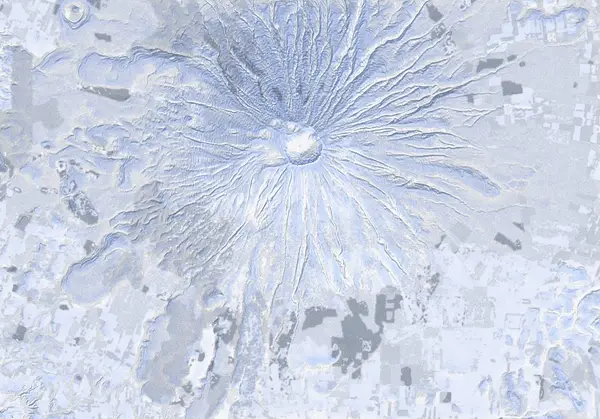
A line records a journey
SnowWind route lines are recorded paths. They do not guarantee present access, recommend an itinerary or promise that a guide will take you there. Open the source to understand the record and its terms of use.
Slope shading describes landform. It does not measure today’s snowpack stability. A more detailed map is not the same as more current information.
Read current information at its source
Use the official links below to read avalanche information in its original context. This article and the map do not create an independent danger rating. Check relevant weather, access and volcanic information with their issuing organisations.
When information is unavailable, tell the guide what remains unknown. Planning aids do not replace equipment, training or field judgement.
Use the same map for the conversation
Open the trip’s map and discuss dates, skill, fitness and equipment together. Agree on meeting arrangements, communication when plans change, and who determines the day’s itinerary. A recorded line should not become a promise to ski that exact route.
Sources & further checks
The publication date belongs to this article. Check current operational information at its source.